Chesapeake Bay
The Chesapeake Bay is an estuary lying inland from the Atlantic Ocean surrounded by the states of Maryland and Virginia, the largest such body in the US. More than 150 rivers and streams flow into the bay’s 64,299 square miles (166,534 km2) drainage basin, which covers parts of six states (New York, Pennsylvania, Delaware, Maryland, Virginia, and West Virginia) and the District of Columbia.
The bay is approximately 200 miles (300 km) long from its northern headwaters in the Susquehanna River to its outlet in the Atlantic Ocean. It is 2.8 miles (4.5 km) wide at its narrowest (between Kent County’s Plum Point near Newtown and the Harford County shore near Romney Creek) and 30 miles (50 km) at its widest (just south of the mouth of the Potomac River). Total shoreline including tributaries is 11,684 miles (18,804 km), representing a surface area of 4,479 square miles (11,601 km2). Average depth is 46 feet (14 m), reaching a maximum of 208 feet (63 m).
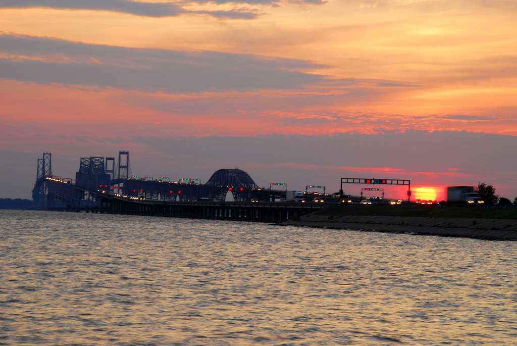
The bay is spanned twice, in Maryland by the Chesapeake Bay Bridge from Sandy Point (near Annapolis) to Kent Island, and in Virginia by the Chesapeake Bay Bridge-Tunnel connecting Virginia Beach to Cape Charles.